We are Evertreen
We are on a mission to transform the world, one tree at a time.
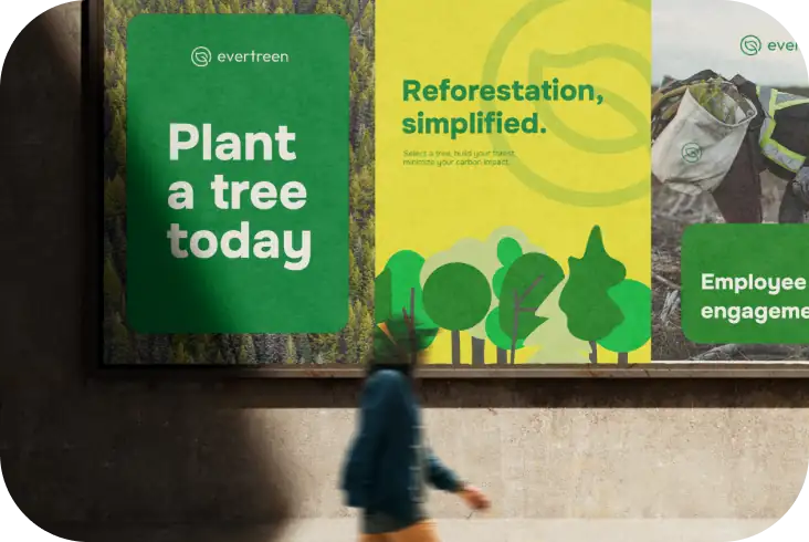


Our platform seamlessly connects passionate individuals and businesses
with the power to make a tangible impact on the environment.
By planting trees and fostering sustainable ecosystems, we're nurturing a greener,
more sustainable future for generations to come.
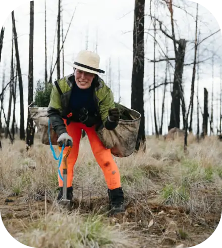
Driven by a commitment to environmental stewardship, our innovative tree planting
platform empowers users to make a meaningful difference. Whether it's offsetting carbon footprints,
gifting trees for special occasions, or supporting reforestation initiatives, Evertreen provides a simple,
effective, and transparent way to contribute to a healthier planet.
We believe that every tree planted is a step towards a brighter, more sustainable tomorrow.
Join us at Evertreen and be a part of this transformative journey towards a greener, more resilient world.
Founders
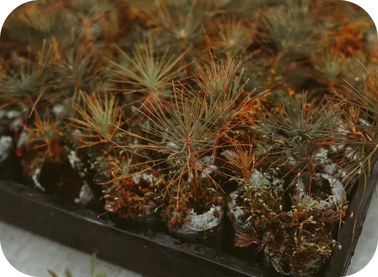
 Mangrove
Pine
Mangrove
Pine
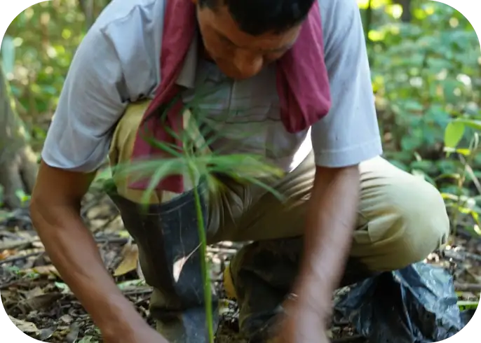
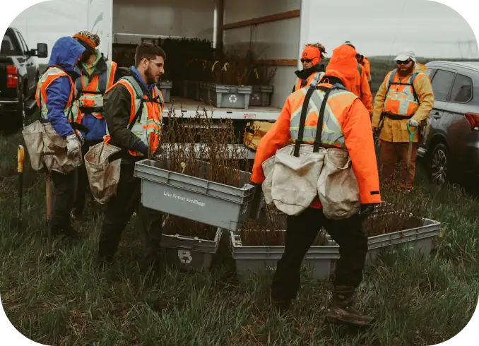
Monitoring protocol
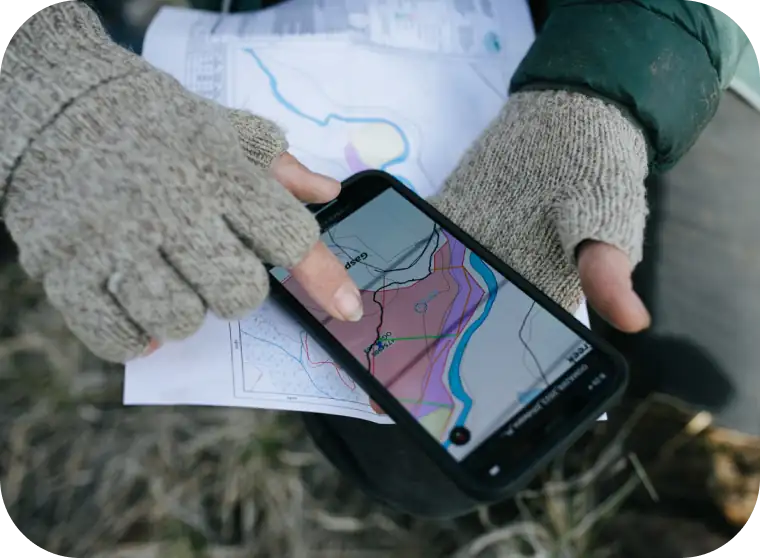
Mapping and Field verification
The field teams will map a precise boundary of the planting site using and held GPS units. The field teams will document pre-intervention site conditions.
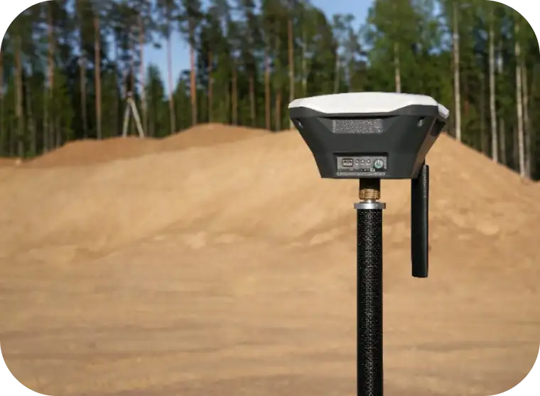
Photo Monitoring
The field teams will take geotagged photos at the planting sites embedded with the site coordinates. Permanent photo monitoring points will be established to provide a time series of site conditions.

Drone Mapping*
Drones will be used when available to produce high resolution aerial imagery of our reforestation sites to monitor forest growth and establishment. (*Drone mapping / use is not available in all the countries we operate in.)
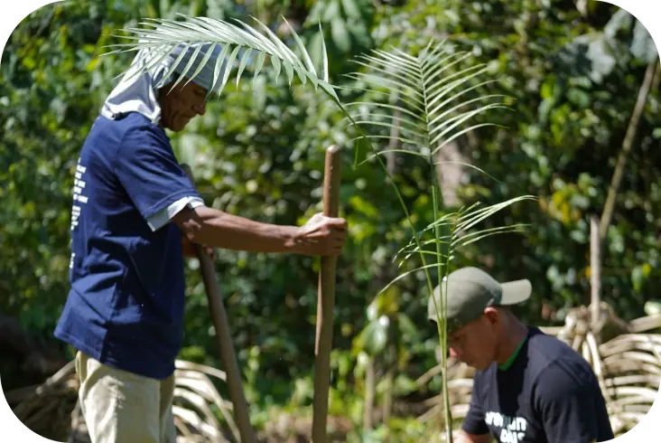
Forest Inventory
Field teams will record the number of trees planted. Field teams will conduct semi-random forest inventory circle plots to measure tree survivorship data.

Socioeconomic Livelihood Surveys
Regular socioeconomic surveys will be administered by field staff to measure the socioeconomic impact of reforestation projects on local livelihoods.
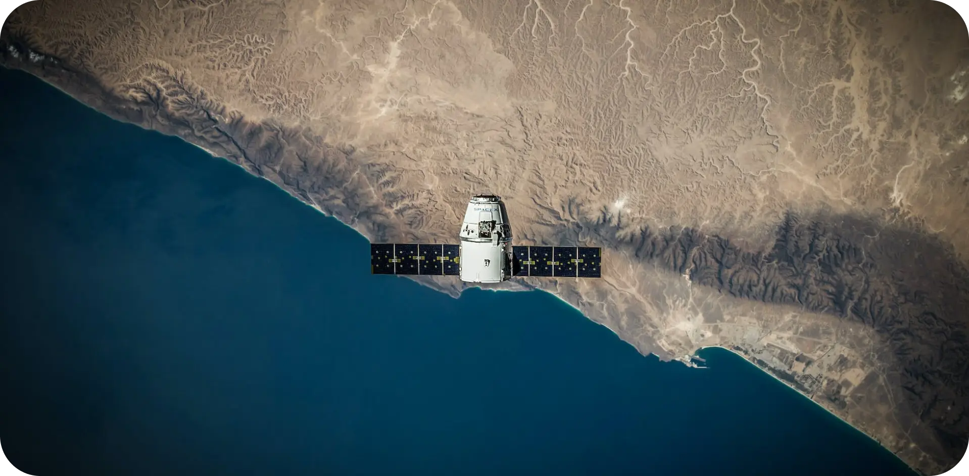
Satellite monitoring

Planning
Field Activity Log and Field Leaderboard

Monitoring and Handling
Field Monitoring and Zoning

Single trustworthy source
Data Managing
Task Manager
Scouting on Web & Mobile
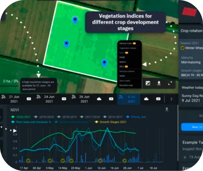
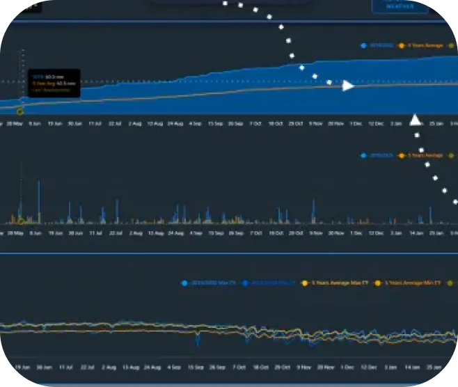
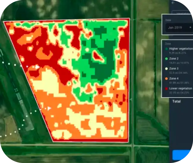
The tool is very powerful and can provide detailed information regarding:
-
 Growth status of plants
 -
Nitrogen concentration in plant leaves to detect aging vegetation and identify possible diseases
-
Photosynthetic activity of a vegetative cover based on the chlorophyll in the leaves
-
Areas in which the field is experiencing water stress
-
How effectively plants absorb and reflect solar radiation
-
Presence of dry and infertile soil... and much more!